

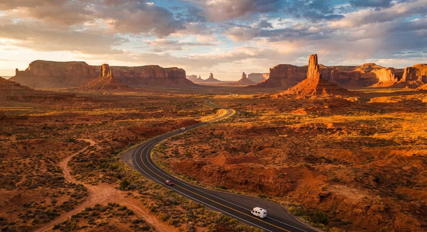
America's Iconic Road Trip Routes at a Glance
A handful of American highways have earned near-mythic status among road trippers - not just for their scenery, but for the towns, cultures, and geography they string together. Whether you're drawn to desert history, coastal cliffs, or mountain forests, understanding what each route actually passes through helps you match a corridor to your interests before you commit to a direction. If you're still weighing whether to drive at all, see our overview of road trips vs. flying for a broader look at the trade-offs.
Below are four of the most traveled classic corridors, profiled by geography, key stops, approximate length, and seasonal considerations.
Route 66: Chicago to Santa Monica
Approximate length: ~2,400 miles. Route 66 - originally commissioned in 1926 - runs from Chicago, Illinois, southwest through Missouri, Kansas, Oklahoma, Texas, New Mexico, and Arizona before ending at the Santa Monica Pier in California. It passes through the Great Plains, the Oklahoma panhandle, high-desert New Mexico towns like Tucumcari and Albuquerque, the Painted Desert of Arizona, and the Mojave Desert.
What you'll encounter: Mid-century motels, roadside diners, Native American cultural sites, the Cadillac Ranch art installation near Amarillo (Texas), and the Petrified Forest National Park in Arizona. Many original stretches of the road are now bypassed by interstate highways, so navigation requires some planning to stay on the historic alignment.
Seasonal note: Summer temperatures in the Arizona and New Mexico desert sections regularly exceed 100°F. Spring and fall offer milder driving conditions across most of the corridor.
Navigating the Historic Route 66 Alignment
Much of Route 66's original pavement has been decommissioned since the interstate system expanded in the 1970s and 1980s. Dedicated route guides and apps focused specifically on Route 66 can help you locate surviving historic stretches, original signage, and landmark stops that standard navigation apps may not highlight. Some rural sections in New Mexico and Arizona remain unpaved.
Pacific Coast Highway: San Diego to the Oregon Border
Approximate length: ~650 miles along California's coastline (California State Route 1 and US-101). The Pacific Coast Highway - often abbreviated PCH - traces California's western edge, passing through Los Angeles, Malibu, Santa Barbara, Big Sur, Monterey, and San Francisco before continuing north through Humboldt County's redwood forests toward the Oregon state line.
What you'll encounter: Sea cliffs, state beaches, elephant seal colonies at Año Nuevo, the dramatic single-lane Bixby Creek Bridge in Big Sur, Hearst Castle (San Simeon), and dense old-growth coastal redwoods. The Big Sur segment is particularly scenic but is subject to periodic road closures due to landslides and storm damage - always verify current conditions with Caltrans before traveling this stretch.
Seasonal note: Coastal fog is heaviest in summer mornings from June through August, which can limit visibility and obscure views. Fall tends to offer the clearest skies along the coast.
Blue Ridge Parkway and the Appalachian Corridor
Approximate length: 469 miles. The Blue Ridge Parkway connects Shenandoah National Park in Virginia to Great Smoky Mountains National Park in North Carolina, running entirely through the southern Appalachian highlands. It is administered by the National Park Service and has no commercial trucks or traffic signals.
What you'll encounter: Rolling forested ridgelines, meadow overlooks, historic farmsteads, craft communities like Asheville (North Carolina), and access to numerous hiking trails. The parkway passes through areas with rich Cherokee and Appalachian cultural history. Elevations along the route range from around 650 feet to over 6,000 feet.
Seasonal note: Peak fall foliage typically runs mid-October through early November, drawing heavy visitor traffic. Winter brings ice and snow that can close high-elevation sections. The parkway is not plowed and segments may close without notice in hazardous conditions.
Once you've identified a route, logistics planning is the next step - our road trip logistics guide covers fuel strategy, overnight stops, and vehicle preparation in detail.
Planning Considerations Across All Routes
Each corridor has distinct requirements that go beyond choosing a direction:
- Road conditions: Mountain and coastal routes can be subject to seasonal closures. Always check state DOT and National Park Service websites before departure.
- Fuel and services: Remote stretches of Route 66 and the Blue Ridge Parkway have limited fuel stops. Plan tank fill-ups conservatively.
- Accommodations: Popular corridors can book up weeks in advance during peak seasons, particularly near national parks.
- Cell coverage: Expect dead zones on rural highway segments. Download offline maps before leaving.
Historic alignment
The original path of a highway before sections were rerouted or bypassed by modern interstates. Driving the historic alignment of Route 66 requires navigating older, sometimes unpaved segments not marked on standard GPS.
Blue Ridge Parkway
A 469-mile National Park Service road connecting Virginia's Shenandoah National Park to North Carolina's Great Smoky Mountains National Park, managed as a park and free of commercial traffic.
Coastal fog (June Gloom)
A seasonal weather pattern common along the California coast from late May through July, characterized by low marine clouds that obscure sunshine and views, often clearing by midday.
State DOT
State Department of Transportation - the agency responsible for road conditions, closures, and construction updates. Each state maintains a publicly accessible website with real-time highway conditions.
These routes pass through a mix of federal, state, and private lands, each with its own access rules and fees. Verifying current entry requirements and conditions through official government sources before travel is always advisable.