

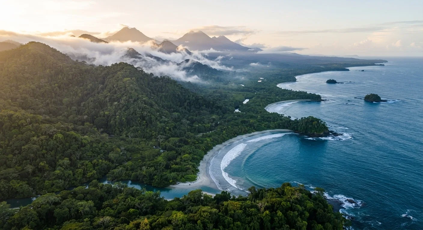
Key Takeaways
- Costa Rica has six distinct ecological zones - weather and terrain vary dramatically between them.
- The Pacific and Caribbean coasts follow opposite rainy-season patterns, affecting when each is most accessible.
- December through April is the driest period on the Pacific side and the most popular tourist window.
- Road conditions, especially in rural areas, can significantly affect travel times and route planning.
- Entrance fees and daily visitor caps apply to many national parks - advance planning is essential.
Why Costa Rica Varies So Much by Region
Costa Rica is roughly the size of West Virginia, yet it contains an extraordinary range of landscapes - cloud forests, active volcanoes, dry tropical lowlands, mangroves, and two separate coastlines facing different oceans. This geographic compression means that what's true about the weather, wildlife, and travel experience in one region can be almost entirely untrue in another just a few hours away.
That diversity is exactly what draws so many American travelers, but it also means that vague trip planning leads to mismatched expectations. Travelers who arrive imagining a single, uniform "jungle paradise" are sometimes surprised to find that their chosen destination is in the middle of dry season while another part of the country is receiving heavy rainfall - or vice versa.
Understanding how the country is organized geographically is the most useful first step before you book anything. Like planning around any complex destination, comparing regions to your priorities - wildlife, beaches, adventure activities, or accessibility - will shape every subsequent decision. The same principle applies to budgeting: our realistic travel budget guide explains how destination geography directly affects what you'll spend.
The Central Valley and Highlands
San José, the capital, sits in the Central Valley at roughly 3,700 feet elevation. The city serves as the country's main international entry point and is a practical base rather than a destination in itself for most visitors. Temperatures here are mild year-round - typically in the 60s and 70s°F - which comes as a surprise to travelers expecting tropical heat.
Surrounding the valley are the country's most-visited highland attractions: Arenal Volcano, the Monteverde Cloud Forest Reserve, and Poás and Irazú volcanoes. Monteverde and similar cloud forest zones are frequently misty and cool regardless of season, so lightweight rain gear is more useful here than sunscreen. Arenal, while iconic, is cloud-covered on most days - views of the peak itself require patience and some luck.
When planning a multi-region itinerary, route yourself logically - fly into San José and out of Liberia (or vice versa) to avoid backtracking across the country and losing days to transit.
One-way car rentals between the two international airports are widely available and can significantly reduce driving time on longer trips.
Book Corcovado National Park permits and ranger-guided entrances well ahead of your travel dates - daily visitor limits fill up weeks in advance during peak season.
Costa Rica's park authority (SINAC) enforces strict daily caps at ecologically sensitive sites, and walk-up access is not guaranteed.
Many of Costa Rica's protected areas require reservations and have daily visitor caps. The national parks planning guide outlines how to navigate permit systems before you travel.
The Pacific Coast: Northwest and Southwest
The Pacific side divides into two meaningfully different zones. The Nicoya Peninsula and Guanacaste region in the northwest is Costa Rica's driest area - a seasonally arid landscape with reliable sunshine from December through April. This is the most resort-developed stretch of coast and the easiest to access via the Daniel Oduber Quirós International Airport in Liberia.
The Osa Peninsula and the southern Pacific zone, including Corcovado National Park, is a different proposition entirely. It receives some of the highest rainfall in the country, remains humid and green year-round, and is significantly more remote. Roads in this region - particularly unpaved routes into Corcovado - can become impassable during heavy rain, and many lodges are only accessible by boat or small aircraft. Wildlife density here is exceptional, but so is the logistical complexity.
The Caribbean Coast
Costa Rica's Caribbean side - centered around towns like Puerto Viejo and Cahuita - has a cultural identity distinct from the Pacific. It was historically settled by Afro-Caribbean communities and has a notably different cuisine, music, and pace of life. The English Creole spoken in many communities also makes communication easier for some American travelers.
Crucially, the Caribbean coast follows a different rainfall pattern than the Pacific. Its drier windows tend to fall in September-October and February-March, while the Pacific's dry season brings heavier rain here. Tortuguero National Park, located on this coast, is one of the world's most significant sea turtle nesting sites but is accessible only by boat or small plane - there are no roads in.
Caribbean Coast Roads and Access Points
Road quality on the Caribbean side - particularly heading south toward the Panamanian border - can deteriorate significantly during and after heavy rain. Some bridges and unpaved routes become temporarily impassable. Always check current conditions locally before driving unfamiliar rural routes, and confirm lodge access requirements in advance.
Understanding Costa Rica's Two Seasons
Costa Rica operates on two broad seasons: the dry season (verano, roughly December-April on the Pacific) and the green season (invierno, or rainy season, May-November). The green season brings afternoon downpours, lower prices, and thinner crowds - but also muddier roads, higher humidity, and some temporary closures of remote areas.
The distinction matters most on the Pacific side. For the Caribbean coast, these labels essentially reverse. Timing your trip means matching your destination's weather pattern to your preferences - not just looking at a general "best time to visit Costa Rica" chart. Our peak versus off-season travel breakdown covers the broader tradeoffs that apply here: cost, availability, and crowd levels shift meaningfully depending on when you go.
Realistic Expectations Before You Go
A few practical realities that first-time visitors frequently underestimate:
- Travel times are long. Roads between regions are often narrow, winding mountain routes. A drive that looks like 80 miles on a map may take three to four hours.
- A rental 4WD vehicle is often necessary, not optional, for accessing many popular destinations outside of paved highway corridors.
- Wildlife sightings are not guaranteed. Experienced guides improve your odds significantly, but nature is unpredictable.
- Costa Rica is not a budget destination by Central American standards. Entrance fees, guided tours, and accommodation in popular zones are priced comparably to many U.S. domestic travel experiences.
Costa Rica rewards travelers who do their homework on regional differences - much like questioning assumptions matters when visiting any unfamiliar destination (see our piece on traveler assumptions about neighboring Mexico for a parallel example). Going in with accurate expectations makes for a far more satisfying trip.
This article is intended for general travel planning purposes. Entry requirements, park access rules, road conditions, and safety considerations can change. Always verify current information with official government sources and Costa Rican national park authorities before you travel.